skip to main content | skip to access keys link
Oxfordshire Wildlife & Landscape Study
  • Joint Character Areas
  • Regional Character Areas
  • Landscape Types
  • Biomap
  • Biolandscape
  • Districts
  • Priority Habitats
Breadcrumb Location > Home > Landscape Types > River Meadowlands
contact contact   help help 

Landscape Types:

River Meadowlands Introduction

Select a landscape type:
  • Back to Overview Map 
  • Alluvial Lowlands
  • Chalk Downland & Slopes
  • Clay Vale
  • Estate Farmlands
  • Farmland Hills
  • Farmland Plateau
  • Farmland Slopes & Valley Sides
  • Lowland Village Farmlands
  • Pasture Hills
  • River Meadowlands
  • Rolling Clayland
  • Rolling Farmland
  • Rolling Village Pastures
  • Settled Ancient Pastures
  • Terrace Farmland
  • Upstanding Village Farmlands
  • Vale Farmland
  • Wooded Downlands
  • Wooded Estatelands
  • Wooded Estate Slopes & Valley Sides
  • Wooded Farmland
  • Wooded Hills
  • Wooded Pasture Valleys & Slopes
  • Wooded Plateau
View Detailed Information
View Map
Aerial View
Alluvial Lowlands
Chalk Downland & Slopes
Clay Vale
Estate Farmlands
Farmland Hills
Farmland Plateau
Farmland Slopes & Valley Sides
Lowland Village Farmlands
Pasture Hills
River Meadowlands
River Meadowlands

10.  RIVER MEADOWLANDS

Regional character areas

Northamptonshire Uplands, Northamptonshire Vales, Cotswolds, Upper Thames Vale, Vale of White Horse and Vale of Aylesbury.

Location

This landscape type covers the flood plains and valley floors of the rivers Cherwell, Thames, Thame, Evenlode, Windrush, Swere and Sor Brook.

Overview

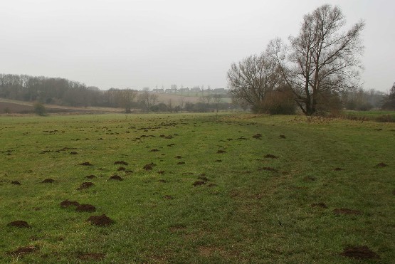
This is a linear riverine landscape with a flat, well defined alluvial floodplain. It has pastoral character with meadows, wet and semi-improved pasture. 

Key characteristics
  • Flat, low-lying topography with seasonally flooded alluvial floodplains.
  • Meandering river channels.
  • Grazing meadows and small fields of permanent pasture.
  • Riparian character with a strong pattern of riverside willows and tree-lined ditches.
  • Sparsely settled with a few roads.

  • Copyright Oxfordshire County Council 2004
  • www.oxfordshire.gov.uk
  • Access keys
  • Site map
  • Credits