skip to main content | skip to access keys link
Oxfordshire Wildlife & Landscape Study
  • Joint Character Areas
  • Regional Character Areas
  • Landscape Types
  • Biomap
  • Biolandscape
  • Districts
  • Priority Habitats
Breadcrumb Location > Home > Landscape Types > Wooded Plateau
contact contact   help help 

Landscape Types:

Wooded Plateau Introduction

Select a landscape type:
  • Back to Overview Map 
  • Alluvial Lowlands
  • Chalk Downland & Slopes
  • Clay Vale
  • Estate Farmlands
  • Farmland Hills
  • Farmland Plateau
  • Farmland Slopes & Valley Sides
  • Lowland Village Farmlands
  • Pasture Hills
  • River Meadowlands
  • Rolling Clayland
  • Rolling Farmland
  • Rolling Village Pastures
  • Settled Ancient Pastures
  • Terrace Farmland
  • Upstanding Village Farmlands
  • Vale Farmland
  • Wooded Downlands
  • Wooded Estatelands
  • Wooded Estate Slopes & Valley Sides
  • Wooded Farmland
  • Wooded Hills
  • Wooded Pasture Valleys & Slopes
  • Wooded Plateau
View Detailed Information
View Map
Aerial View
Alluvial Lowlands
Chalk Downland & Slopes
Clay Vale
Estate Farmlands
Farmland Hills
Farmland Plateau
Farmland Slopes & Valley Sides
Lowland Village Farmlands
Pasture Hills
River Meadowlands
Wooded Plateau

23.   WOODED PLATEAU

Regional character areas

Chilterns.

Location

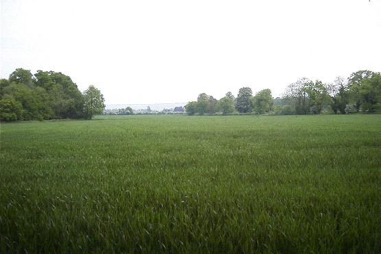
This landscape type covers the isolated plateau areas to the north-west of the Chilterns Escarpment around Brightwell, Grove and Oakley Wood.

Overview

This is a rolling, semi-enclosed, wooded landscape with a strong pattern of woods and hedgerows.

Key characteristics
  • Glacial clay deposits with flints.
  • Large blocks of ancient woodland and smaller, geometrically shaped plantations.
  • Tall, dense hedgerows with scattered mature trees.
  • Mixed land uses with medium to large-sized fields.
  • Scattered farmsteads.

  • Copyright Oxfordshire County Council 2004
  • www.oxfordshire.gov.uk
  • Access keys
  • Site map
  • Credits