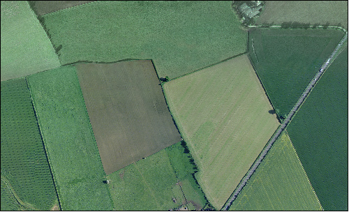
skip to main content | skip to access keys link
Oxfordshire Wildlife & Landscape Study
  • Joint Character Areas
  • Regional Character Areas
  • Landscape Types
  • Biomap
  • Biolandscape
  • Districts
  • Priority Habitats
Breadcrumb Location > Home > Landscape Types > Rolling Farmland > Aerial View
contact contact   help help 

Landscape Types:

Rolling Farmland Aerial View

Select a landscape type:
  • Back to Overview Map 
  • Alluvial Lowlands
  • Chalk Downland & Slopes
  • Clay Vale
  • Estate Farmlands
  • Farmland Hills
  • Farmland Plateau
  • Farmland Slopes & Valley Sides
  • Lowland Village Farmlands
  • Pasture Hills
  • River Meadowlands
  • Rolling Clayland
  • Rolling Farmland
  • Rolling Village Pastures
  • Settled Ancient Pastures
  • Terrace Farmland
  • Upstanding Village Farmlands
  • Vale Farmland
  • Wooded Downlands
  • Wooded Estatelands
  • Wooded Estate Slopes & Valley Sides
  • Wooded Farmland
  • Wooded Hills
  • Wooded Pasture Valleys & Slopes
  • Wooded Plateau
View Detailed Information
View Map
Aerial View
Rolling Farmland Aerial View

Key characteristics
• Prominent rolling landform.
• Large, geometric arable fields enclosed by a weak hedgerow pattern.
• Thinly distributed hedgerow trees.
• Locally prominent blocks of ancient woodland.
• Small to medium-sized villages.


  • Copyright Oxfordshire County Council 2004
  • www.oxfordshire.gov.uk
  • Access keys
  • Site map
  • Credits