Districts:
West Oxfordshire Parishes
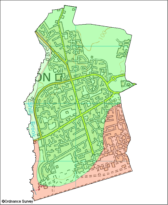
Carterton
The following wildlife habitats fall within this parish. They are listed according to their associated landscape type or local character area.
If you want more information about any of the sites of special scientific interest (SSSIs) listed below, take a look at English Nature's Nature on the Map website. It may also be possible to find out a bit more about the unnamed wildlife habitats in the parish by contacting the Thames Valley Environmental Records Centre (owls@oxfordshire.gov.uk) and quoting the site code next to the habitat description.
The majority of these wildlife habitats are on private land and access to them is not possible without permission of the landowner, unless there is a statutory right of way. However, many wildlife habitats in the county are open to the public. More information on these can be obtained from the Oxfordshire Nature Conservation Forum.
Wildlife Habitats
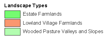
Estate Farmlands
Site Code: 20T02
Area: 3.9ha
Grassland Bank at Carterton
This site is on the banks of the Shill Brook behind the school playing fields and also includes an area owned by Carterton Town Council at the southern end. It is an area of limestone grassland with scrub at the edges. Limestone grassland is a national priority for nature conservation.
This site has been unmanaged for many years, which has allowed hawthorn and blackthorn scrub to establish and the grassland has become quite over-grown - swamping the wildflowers. There are some more open areas where most of the wildflowers grow. Another feature of the grassland is the large old anthills, which show the site has not been disturbed recently. Wildflowers that can be seen include yellow-wort, cowslip, fairy flax, yellow rattle and chalk milkwort. Corn parsley, a national scarce plant, and a national scarce plant-bug have been recorded here.